|
REFRACTORLAND
"Hypertextual Moon Atlas"
based on
A. Rükl "Atlas of the Moon" |
FLAMSTEED
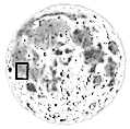
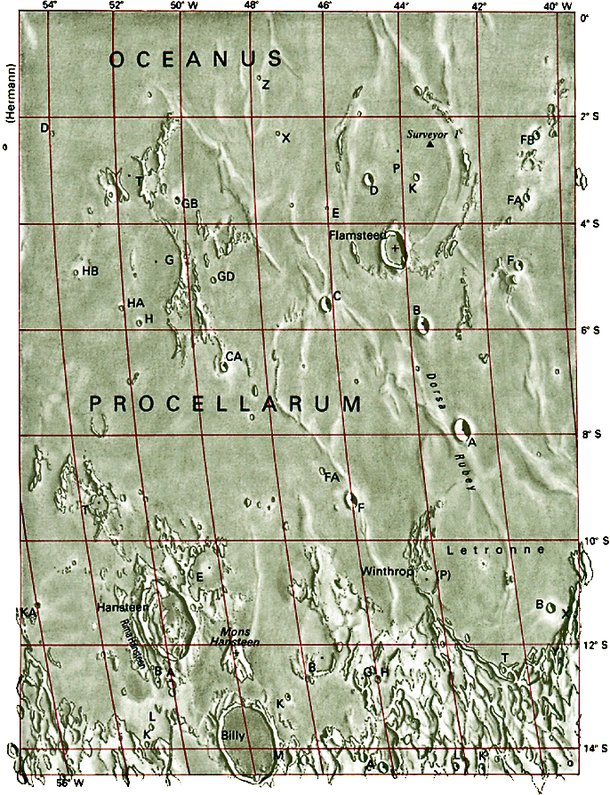
The southern part of Oceanus Procellarum. The craters Billy and Hansteen are useful landmarks for the observer's orientation: the massif Mons Hansteen separates them. Surveyor 1 landed close to the remains of the wall of the flooded crater Flamsteed P.
|
|
North |
|
[ Home ]
[ Full Moon Map ]
[ Index of Lunar Features ]
Age of Moon: d. 10 - 11
Section 40
RELEVANT FEATURES
- Billy - 46 km - h.
1210 m
- Flamsteed - 21 km
- h. 2160 m
- Flamsteed F - 5,4 km
- h. 1050 m
- Hansteen - 45 km -
h. 1250 m
- Hansteen, Mons - base
d. 30 km
- Hansteen, Rima -
length 25 km
- Letronne - 119 km
- Letronne B - 5,2 km
- h. 1000 m
- Letronne T - 3,0 km
- h. 620 m
- Procellarum, Oceanus - Ocean of Storms - area 2.102.000 sq km
- Rubey, Dorsa - length 100 km
- Winthrop - 18 km
|
|